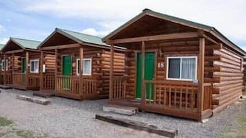
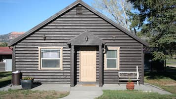
Foto tomada por Eric & Kristy's Adventures
Hoteles en Alton

Opciones de cancelación gratuita si cambias de planes

Acumula recompensas por cada noche de estancia

Ahorra más con los Precios para socios
Consulta precios para estas fechas
Esta noche
Mañana
El próximo fin de semana
En dos semanas
Dónde hospedarse en Alton

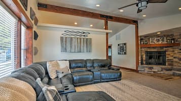
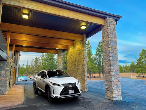
Luxe Home ~ 2 Mi to Bryce Canyon National Park!
Luxe Home ~ 2 Mi to Bryce Canyon National Park!Bryce Canyon
El precio actual es de USD 306
USD 560 en total
impuestos y cargos incluidos
23 abr. - 24 abr.


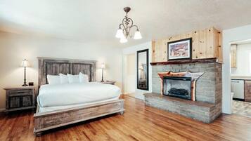
Bryce Canyon Pines
Bryce Canyon PinesBryce Canyon
8.0 de 10, Muy bueno, (1 018 opiniones)
El precio actual es de USD 79
USD 89 en total
impuestos y cargos incluidos
12 abr. - 13 abr.


Rodeway Inn Bryce Canyon
Rodeway Inn Bryce CanyonPanguitch
8.0 de 10, Muy bueno, (1 002 opiniones)
El precio actual es de USD 49
USD 56 en total
impuestos y cargos incluidos
18 abr. - 19 abr.


Bryce GatewayInn Cabins
Bryce GatewayInn CabinsPanguitch
8.0 de 10, Muy bueno, (793 opiniones)
El precio actual es de USD 75
USD 85 en total
impuestos y cargos incluidos
12 abr. - 13 abr.

Quality Inn Panguitch near Bryce Canyon
Quality Inn Panguitch near Bryce CanyonPanguitch
7.8 de 10, Bueno, (1 005 opiniones)
El precio actual es de USD 71
USD 80 en total
impuestos y cargos incluidos
27 abr. - 28 abr.


The Riverside Ranch RV Park, Motel & Campground
The Riverside Ranch RV Park, Motel & CampgroundHatch
9.4 de 10, Excepcional, (565 opiniones)
El precio actual es de USD 100
USD 113 en total
impuestos y cargos incluidos
30 abr. - 1 may.


Galaxy of Hatch between Bryce and Zion
Galaxy of Hatch between Bryce and ZionHatch
8.2 de 10, Muy bueno, (27 opiniones)
El precio actual es de USD 91
USD 104 en total
impuestos y cargos incluidos
12 abr. - 13 abr.


Bryce Zion Inn
Bryce Zion InnHatch
7.8 de 10, Bueno, (542 opiniones)
El precio actual es de USD 59
USD 67 en total
impuestos y cargos incluidos
12 abr. - 13 abr.


Mountain Ridge Cabins and Lodging
Mountain Ridge Cabins and LodgingHatch
9.2 de 10, Magnífico, (990 opiniones)
El precio actual es de USD 130
USD 149 en total
impuestos y cargos incluidos
27 abr. - 28 abr.

Hatch Station Motel and Restaurant
Hatch Station Motel and RestaurantHatch
8.4 de 10, Muy bueno, (414 opiniones)
El precio actual es de USD 55
USD 63 en total
impuestos y cargos incluidos
12 abr. - 13 abr.


Aspen Cove resort
Aspen Cove resortPanguitch
7.0 de 10, Bueno, (66 opiniones)
El precio actual es de USD 152
USD 172 en total
impuestos y cargos incluidos
25 abr. - 26 abr.


Historic Smith Hotel B&B
Historic Smith Hotel B&BGlendale
9.2 de 10, Magnífico, (505 opiniones)
El precio actual es de USD 130
USD 148 en total
impuestos y cargos incluidos
12 abr. - 13 abr.


The Lodge at Duck Creek
The Lodge at Duck CreekMeadow View Heights
9.4 de 10, Excepcional, (94 opiniones)
El precio actual es de USD 167
USD 341 en total
impuestos y cargos incluidos
12 abr. - 13 abr.


Duck Creek Village Inn
Duck Creek Village InnDuck Creek Village
9.4 de 10, Excepcional, (172 opiniones)
El precio actual es de USD 150
USD 176 en total
impuestos y cargos incluidos
12 abr. - 13 abr.


Arrowhead Country Cabins
Arrowhead Country CabinsMount Carmel
9.6 de 10, Excepcional, (70 opiniones)
El precio actual es de USD 156
USD 220 en total
impuestos y cargos incluidos
14 abr. - 15 abr.


89 & Nine Motel
89 & Nine MotelOrderville
8.6 de 10, Excelente, (167 opiniones)
El precio actual es de USD 104
USD 120 en total
impuestos y cargos incluidos
14 abr. - 15 abr.


Best Western East Zion Thunderbird Lodge
Best Western East Zion Thunderbird LodgeOrderville
9.2 de 10, Magnífico, (1 005 opiniones)
El precio actual es de USD 138
USD 158 en total
impuestos y cargos incluidos
14 abr. - 15 abr.
Precio por noche más bajo encontrado en las últimas 24 horas para una estadía de una noche para dos adultos. Los precios y la disponibilidad están sujetos a cambios. Es posible que se apliquen más términos y condiciones.
Encuentra un hospedaje especial en Alton
Familias
Principales lugares de interés en Alton
Más información sobre Alton
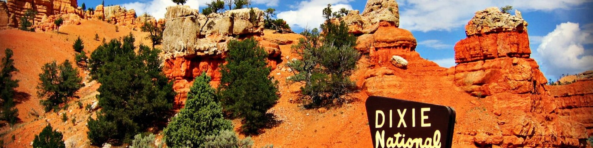
Las atracciones, como Bosque nacional Dixie y Alton Town Hall, le dieron a Alton fama mundial.

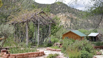
Foto tomada por Eric & Kristy's Adventures
Foto de uso libre tomada por Eric & Kristy's Adventures
Lee las opiniones de los huéspedes sobre sus hoteles favoritos en Alton
89 & Nine Motel
10/10 Excelente